SAR + Optical · Remote Sensing

Sensor fusion for inundation classification

I combined SAR and optical satellite imagery to classify flood inundation across California wetlands.
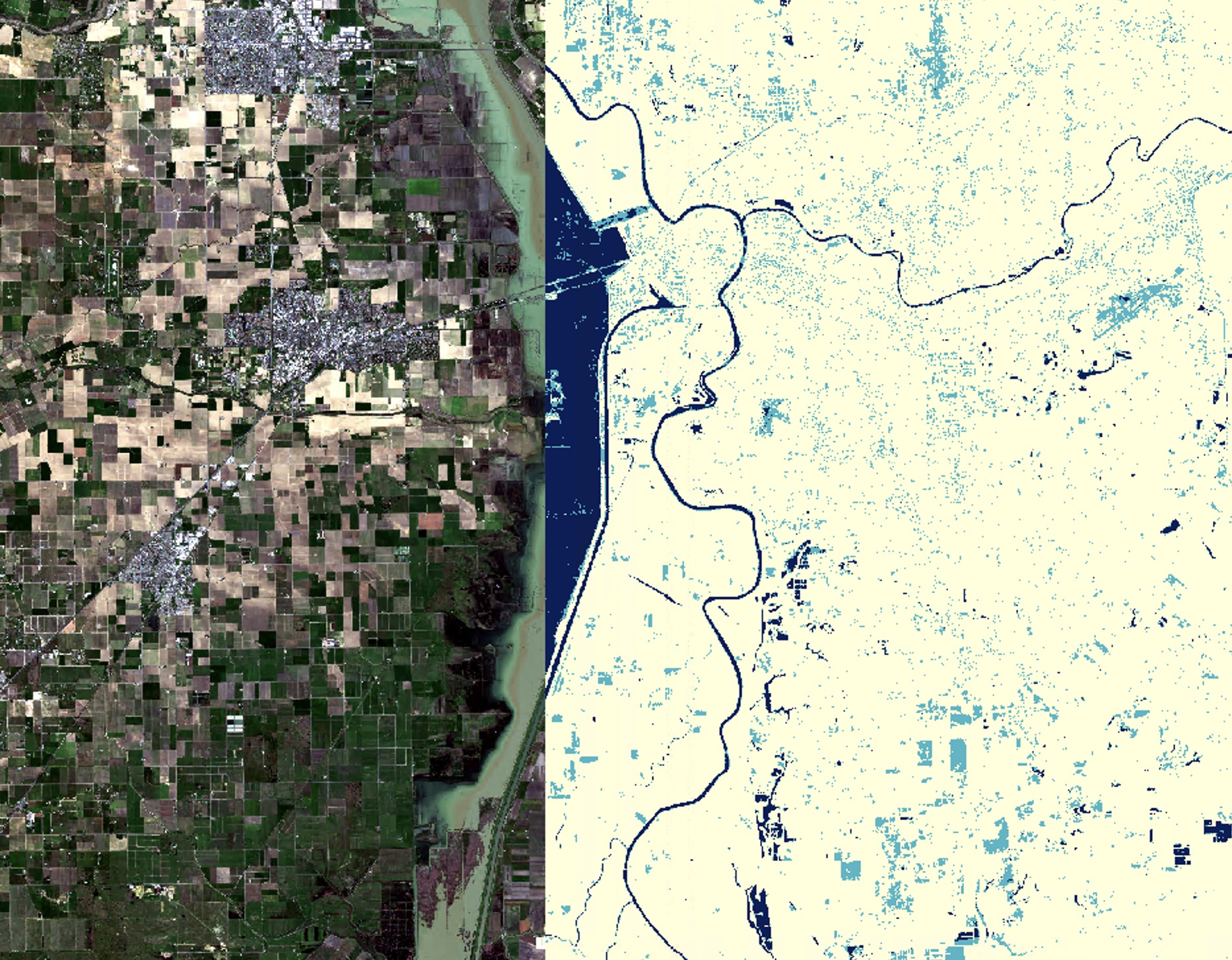
Optical satellite imagery alongside the resulting inundation classification map for a stretch of California wetlands
Optical imagery (left) alongside the resulting inundation classification map (right)
← Back to projects